
25051 E Low LaneBenson, AZ 85602
None · Pima County
$100,000List price
11.25Acre lot
3 weeks agoOn market
Description
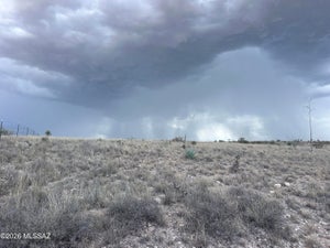
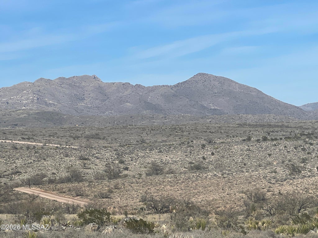
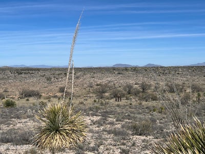
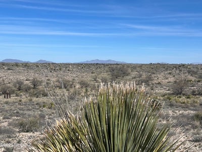
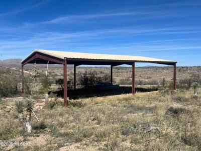
Get away from it all! Away from the hustle and bustle of town! Nice country setting with 360 degree views of the mountains. This 11.25 acre property features a red iron hay barn/equipment storage, storage shed. Manufactured homes and horse, livestock allowed. Abuts Arizona state trust land to the east. Easy commute to Tucson, Vail, Benson
Property Information
- Property type
- Land
- Lot size
- 11.25 acres
- Lot dimensions
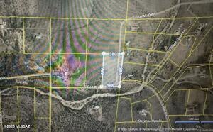
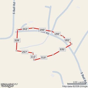
- 1318x363x1299x385
- Zoning
- Pima County - RH
- Days on market
- 24
- MLS® Listing#
- 22622603
Property Features
- Fencing
- Wire
- Lot features
- Rolling Slope
Schools
- Elementary
- Acacia
- Middle
- Old Vail
- High
- Cienega
Financial Details
- HOA
- None
- Annual taxes
- $1,107Tax year 2025
- Parcel number
- 306-10-073B
Directions
Mescal J6 exit off I-10 north cross the RR tracks turn west on E Double X Ranch road, north on South High Rise rd, road curves to the west and becomes Low Rd. Property is on the north side of Low Rd. Look for the sign.